
Our Courses
We run three types of course. A One Day Introductory Course, A Five Day Standard Course and a Ten Day Advance course.
All of our courses can either be taken in Site Engineering or in Surveying based on what each student is trying to achieve.
keep it simple.
Keeping things simple is one of the mottos of a good engineer, and is something we go by at the engineers academy. Boiling a problem down to first principles can teach an engineers how to deliver solutions for the problems they are likely to encounter.
With this in mind, we try to run our classes in a relaxed, simple and bespoke manner. With no more than 3 students in each class we are able to provide tailored classes that allow us time to focus on each student as an individual.
First Principles
Three. Four. Five.
Mitigate Risks
If in doubt. Always ask.
100% Attitude
Measure Twice. Cut Once.
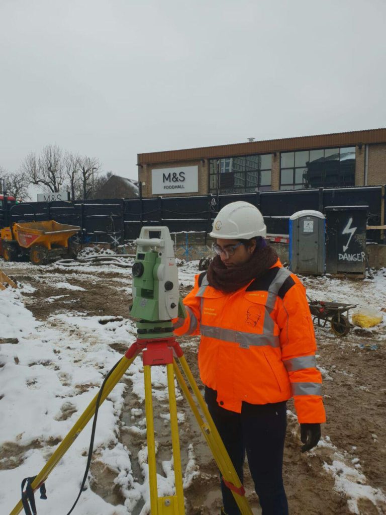
Unit 1: Basics
It is designed to show students what to expect as engineers either entering the construction industry for the first time or as experienced construction specialists transitioning from one part of the industry into site engineering.
- Basic construction maths
- Basic automatic level use
- Basic total station use
- Basic setting out
Unit 2: Standard
It is designed to show students how to handle most of the events that they can expect to encounter as a site engineer.
- All of Unit 1 PLUS...
- Standard construction maths
- Standard automatic level use
- Standard total station use
- AutoCAD basics
- Data import and export
- Setting out a building
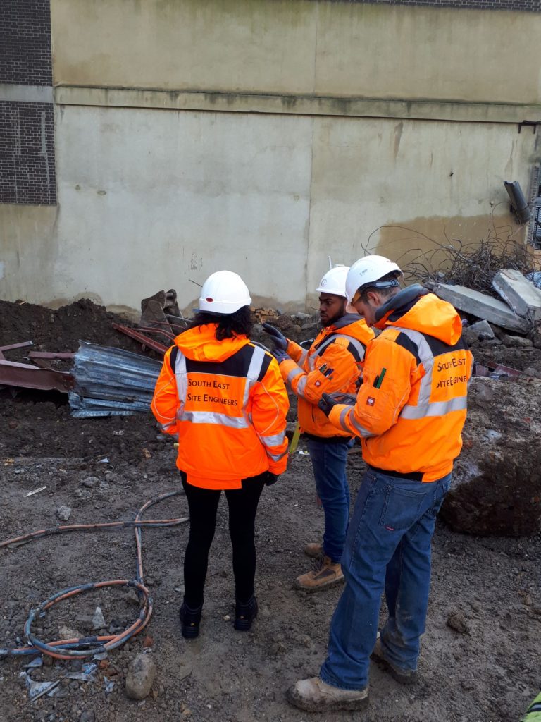
Unit 3: Advanced
It is designed as a higher level preemptive boot-camp course showing students how to handle the more advanced events that they are expected to be able to manage within the site engineering environment.
- All of Unit 1 and 2 PLUS...
- AutoCAD data extraction
- As Set Out Reports
- Measured As-built Surveys
- Mitigating risks
- Global coordinates
- Data manipulation and sections
- Site measures/cubing concrete
- Reinforcement/re-bar schedules
Extra: Unit 4
This is our Movement Monitoring Unit.
This 1 Day unit is designed to showcase the difference between some high precision instruments used for this specialist area of construction and standard total stations, and demonstrates the manner in which movement monitoring data is manipulated.
- Unit 1, 2 or 3 PLUS...
- MS50 & SX10 instruments
- Data manipulation and reporting
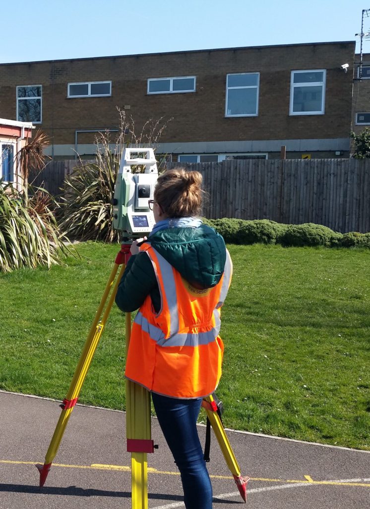
Extra: Unit 5
This is our GLONASS, GPS use GNSS Unit.
This 1 Day unit is designed to showcase how to switch between a Local grid, Ordnance Survey grid, WSG84 and how to produce accurate topographic surveys.
- Unit 1, 2 or 3 PLUS...
- Topographic surveys
- Global Coordinate kits and systems
- Post-processing and reporting
Extra: Unit 6
This is our GPR Utility Mapping Unit.
This 2 Day unit is designed to showcase how to trace subsurface utilities and accurately draw them onto an existing services layout or as independent deliverable DWG, GIS and PDF files.
- Unit 1, 2 or 3 PLUS...
- PAS128 survey types
- Principles of radio wave scanning
- Principles of microwave scanning
- Subsurface transmitters
- Preparing for a GPR scan
- Data manipulation and reporting
Mia Janne